
FIRE RESTRICTIONS ARE IN EFFECT through October 31, 2026 at 10 p.m. Wood, charcoal, and propane fires are prohibited.
Due to safety concerns, walk-in entry and hiker drop-off/pick-up is not permitted.
Dump station is not open to the public.
Maps
This Sonoran desert park is located just outside the Phoenix metro area, and at the base of the Superstition Mountains. Check out the park map below and start planning...Experience this historic and beautiful mountain range from the expansive trail network and you'll walk away with unforgettable memories!
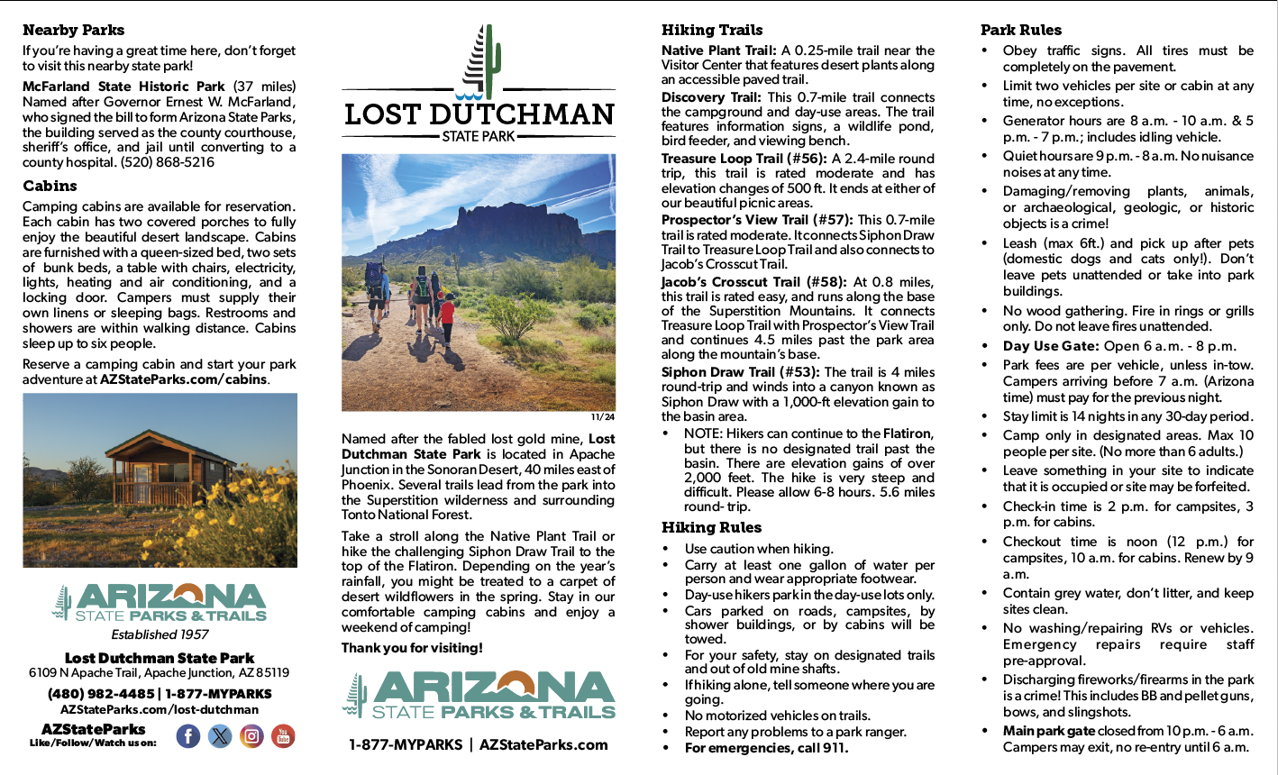
Get directions to Lost Dutchman below, and don't forget to download the trail map brochure before your trip!
Park Location and Directions
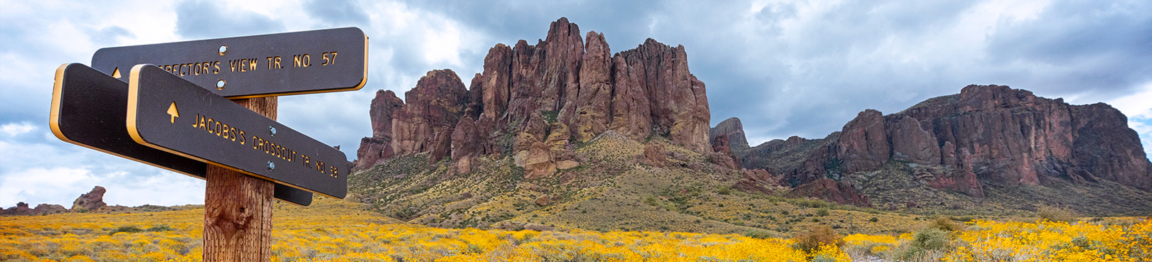
Lost Dutchman State Park is located just east of Apache Junction, AZ. Take State Route 88 north for approximately seven miles from the US 60. Park entrance is on the right.
Click to view Google Map
What3Words: ///decency.sociable.situation
Lost Dutchman Park Map
Download a printable park map.
Mapa de parques españoles aquí.
This high resolution park map shows you an overview of campsites, cabins, park features, major trails, and much more. Print it out before your trip and enjoy the Superstition Mountains via Lost Dutchman State Park!
Elevation
2000 ft
Share the Trail
Understanding shared-use trail etiquette can make hiking, biking, and riding trails more enjoyable for everyone. Learn some basic principles and tips for using shared-use trails on the Share the Trail page.
GPS Coordinates to park entrance
Decimal Degrees (WGS84)
Latitude: 33.464206
Longitude: -111.481962
Degrees, Minutes & Seconds
Latitude: N33 27 51
Longitude: W111 28 55
GPS
Latitude: N 33 27.852
Longitude: W 111 28.918
UTM 12N
X: 455214
Y: 3702855
Campground Reservations
Be sure to book your spot early to take advantage of the amazing opportunities in this gorgeous park! Click below to start your adventure...

