

Stage II fire restrictions are in effect.
Maps
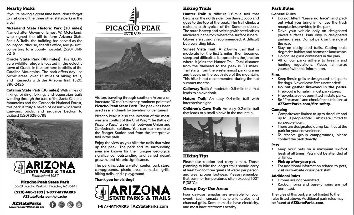
Explore the trail and park maps below before your trip to Picacho Peak State Park.
Park Location and Directions
What3Words: ///baker.beads.desperate
Picacho Peak Park Map
Download printable map to the park
Park Map shows you an overview of the park, including trails and group use areas.
Elevation
2000 ft
GPS Coordinates to park entrance
Decimal Degrees (WGS84)
Latitude: 32.645952
Longitude: -111.401153
Degrees, Minutes & Seconds
Latitude: N32 38 45
Longitude: W111 24 04
GPS
Latitude: N 32 38.757
Longitude: W 111 24.069
UTM 12N
X: 462377
Y: 3612109

