
On weekends, the park may experience temporary closures to day use due to maximum occupancy. Please plan accordingly and call ahead.
Fish advisory in effect: ADEQ recommends that adults limit consumption of flathead catfish to 2.5 ounces (uncooked weight) per week and children 12 years of age and younger limit consumption to 2 ounces (uncooked weight) per month.
Maps
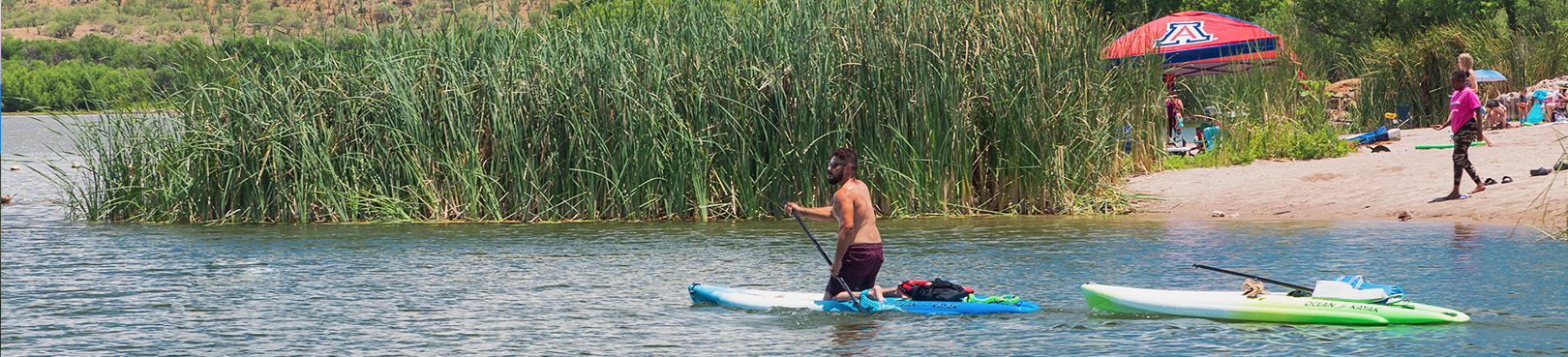
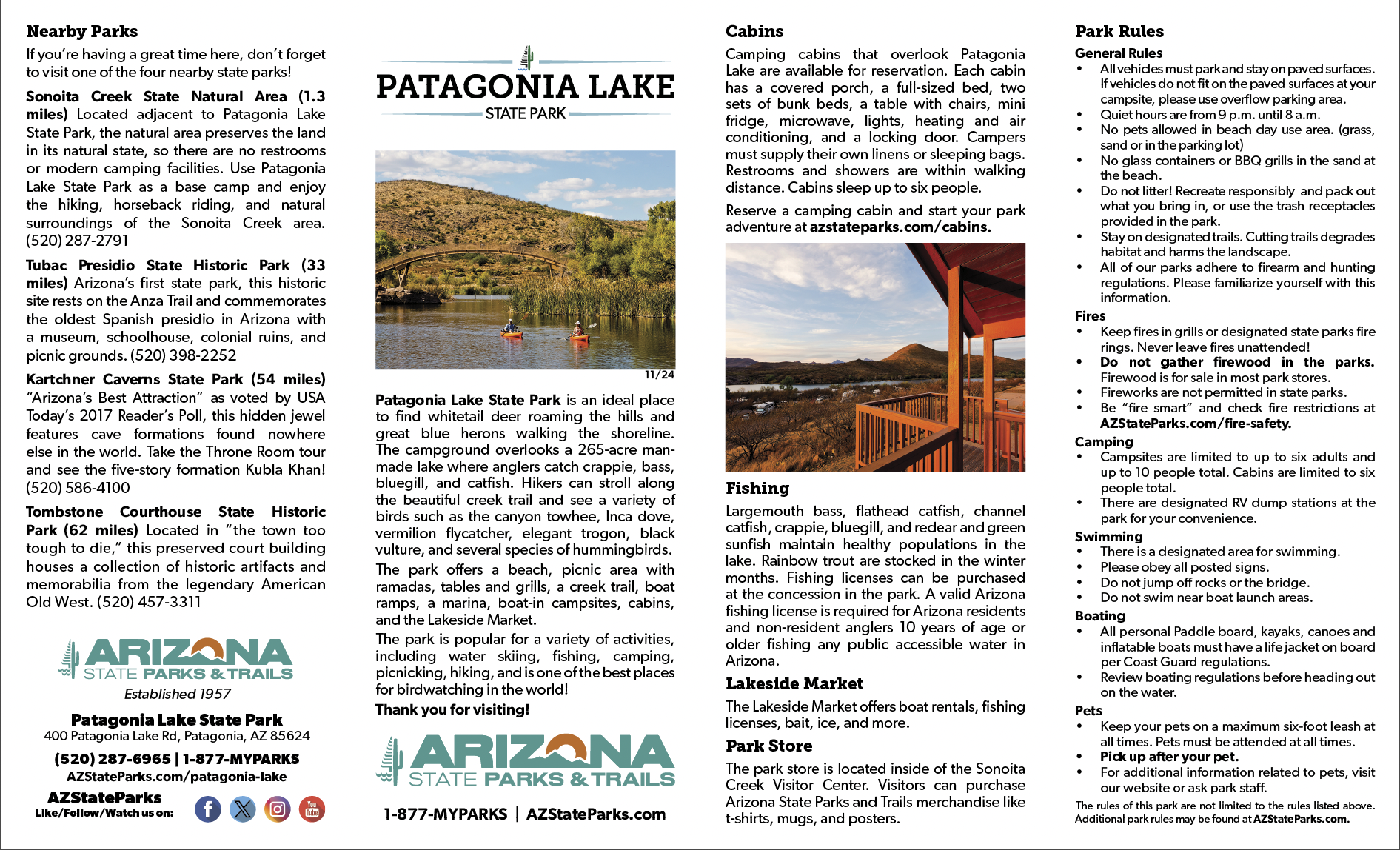
Explore the natural beauty of Patagonia Lake State Park with the help of our detailed maps. Whether you're planning to hike, fish, camp, or simply relax by the water, our maps will guide you to all the park's top spots. Discover scenic trails, locate picnic areas, and find your way around the park’s amenities with ease. From the peaceful shoreline to the surrounding hills, Patagonia Lake offers plenty of opportunities to immerse yourself in southern Arizona’s stunning landscape. Be sure to check out the Google driving directions below to help you reach this hidden gem and make the most of your adventure!
Park Location and Directions
What3Words: ///concerts.civil.examiners
Patagonia Lake Park Map
Download printable park map
Park Map shows you an overview of the park.
Elevation
3750 ft
GPS Coordinates to park entrance
Decimal Degrees (WGS84)
Latitude: 31.488224
Longitude: -110.853724
Degrees, Minutes & Seconds
Latitude: N31 29 17
Longitude: W110 51 13
GPS
Latitude: N 31 29.293
Longitude: W 110 51.223
UTM 12N
X: 513893
Y: 3483721

