
Starting April 7, 2026, the U.S. Forest Service will be removing hazard trees in the park. This project may continue for several months. During this time, please excuse the noise from saws and work crews in the camping loops.
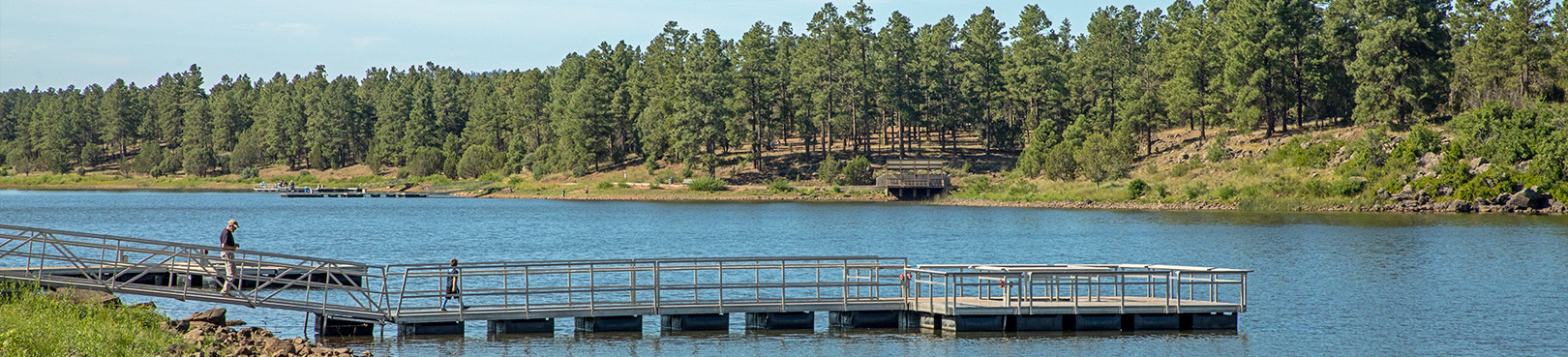
Due to low water levels, both boat launch ramps are closed. Due to historic low water levels, fishing docks may also be completely out of the water. Kayaks and personal vessels must be launched and carried by hand.
The park entrance gate opens at 5 a.m. and closes at 8 p.m. Campers with current reservations coming after hours will need to enter the gate code on the PIN pad to gain access. The gate code is included with your camping reservation confirmation.
Maps
Park Location and Directions
What3Words: ///rusts.juggles.linger
Fool Hollow Park Map
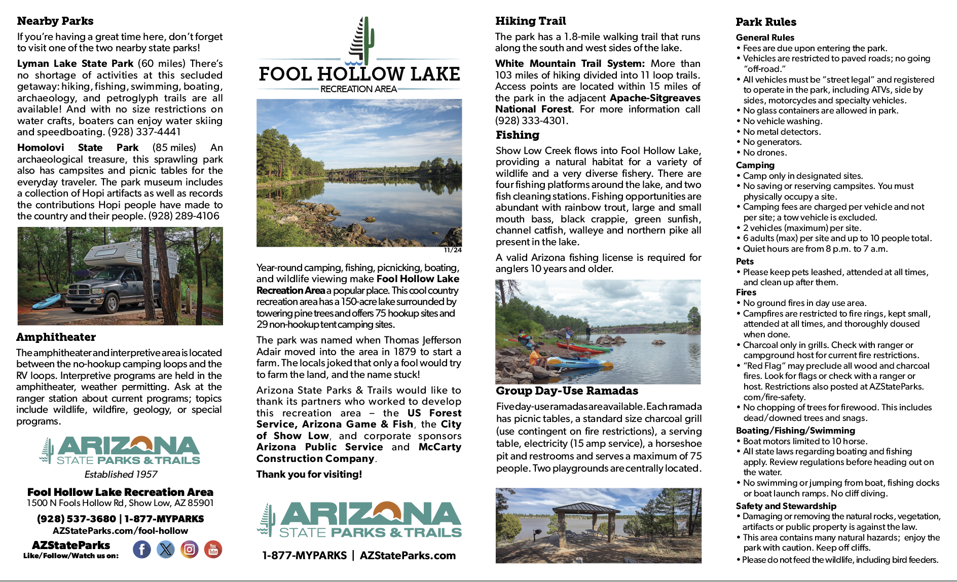
Download a printable park map.
Map shows you an overview of the recreation area.
Elevation
6300 ft
GPS Coordinates to Recreation Area entrance
Decimal Degrees (WGS84)
Latitude: 34.263327º
Longitude: -110.076292º
Degrees, Minutes & Seconds
Latitude: 34º 15' 47.9772"
Longitude: -110º 04' 34.6512"
GPS
Latitude: N 34.268933'
Longitude: W -110.074128'
UTM 12N
X: 585039.67
Y: 3791739.73

