The park is under Stage 2 fire restrictions. No charcoal or wood fires. Propane stoves for cooking only. No smoking except in an enclosed vehicle.


The Cholla side of park (C,D, and E campgrounds and Cholla boat ramp) will reopen for the fall season at noon on September 1, 2025.


Construction is currently in progress on the lower B campground restroom. Portable restrooms will be available close to the lower B restroom. Please check at the park office for other facilities.


The main launch ramp dock is being moved to the low water ramp on Monday, July 21. There will be no dock available for public use until Tuesday, July 22 at 6 a.m. Thank you for your patience as we make these improvements.

Maps

Park Location and Directions

Where is Alamo Lake State Park?

Take US 60 to Wenden, AZ (85357) and look for the standard brown point-of-interest sign. Next, take the two lane paved road across the train tracks 33 miles north which leads directly to the park entrance at milepost 33.

Beware - this road is open range. Cattle, deer and wild burros are often seen on this road.

CLICK HERE for Google Map Directions to the Park

What3Words: ///foots.remotely.torch

Alamo Lake Park Map

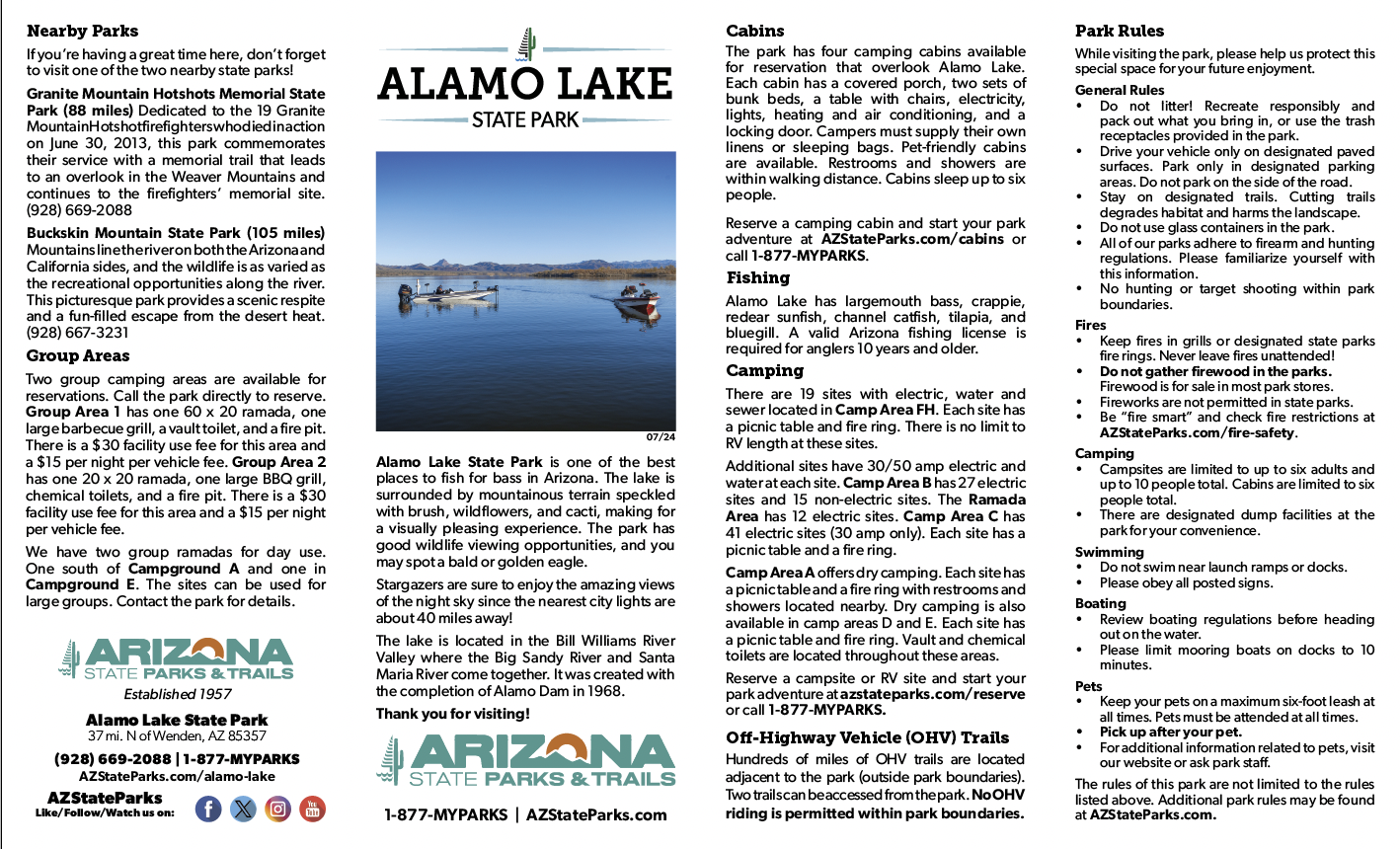
Before you visit, get an overview of the park and download a printable park map.

CLick on this Alamo Lake map to access large PDF version

Elevation

1300 ft

Back to top