
Stage II fire restrictions are in effect. Generator use is prohibited from 9 a.m. to 8 p.m.
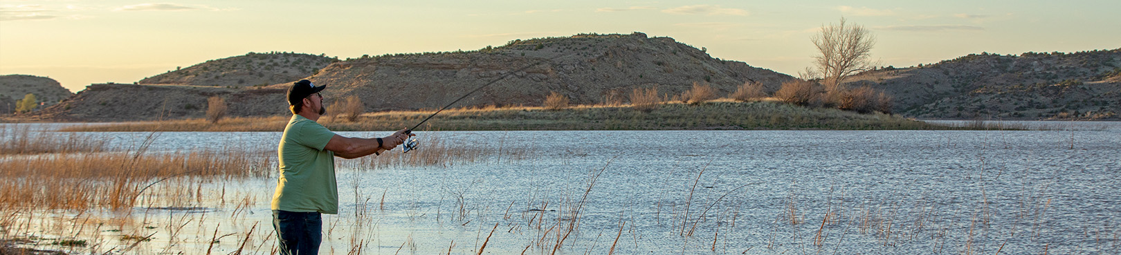
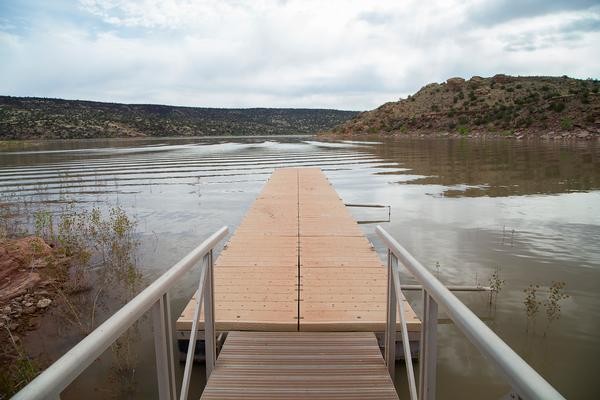
Due to low water levels, the boat ramps at Lyman Lake will be closed until levels rise to a safe standard. Non-motorized vessels can still be launched from our beach access points.
There is currently no drinking water at the park. Restrooms and showers are fully functional.
Maps
 Park Location and Directions
What3Words: ///hungry.privy.dusters
Lyman Lake Park Map
Download printable park map
Park Map shows you an overview of the park, including parking lots, boat ramps and more.
Read about the trails available at Lyman Lake State Park and view maps for each trail.
Elevation
6000 ft
GPS Coordinates to park entrance
Decimal Degrees (WGS84)
Latitude: 34.363418
Longitude: -109.386234
Degrees, Minutes & Seconds
Latitude: N34 21 48
Longitude: W109 23 10
GPS
Latitude: N 34 21.805
Longitude: W 109 23.174
UTM 12N
X: 648397
Y: 3803632

