
Maps
Park Location and Directions
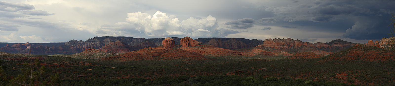
Red Rock State Park is located in north central Arizona's amid Sedona's famed red rock escarpments! Turn south off of AZ State Route 89A and on to Red Rock Loop Rd., then continue south for a few short miles to the park.
What3Words: ///uniformity.travels.sterner
Red Rock Park Map
Download a printable park map.
Park Map shows you an overview of the park, including trails and group use areas.
Lime Kiln Trail Topography & Segment Map
 Click to download Lime Kiln trail map
The Lime Kiln Trail connects Dead Horse Ranch State Park and Red Rock State Park. This is a shared use trail and follows a scenic old wagon road through the high desert of north central Arizona. Experience red rock country from this diverse and beautiful trail that traverses some of Arizona's most scenic landscapes. Wildlife, birds, and beautiful sights abound along the length of this bucket list trail.
 Lime Kiln Trail
Park Ranger Randy Victory on the Lime Kiln Trail; a 15 mile shared use trail that connects Red Rock and Dead Horse Ranch State Parks.
Download Lime Kiln Trail Map
The Lime Kiln Trail goes from Dead Horse Ranch State Park to Red Rock State Park. This trail follows an old wagon trail and is a shared-use trail.
Elevation
3990 ft
GPS Coordinates to park entrance
Decimal Degrees (WGS84)
Latitude: 34.818983
Longitude: -111.83669
Degrees, Minutes & Seconds
Latitude: N34 49 08
Longitude: W111 50 12
GPS
Latitude: N 34 49.139
Longitude: W 111 50.201
UTM 12N
X: 423482
Y: 3853288

