
Stage II Fire restrictions in effect. No charcoal, coal or wood fires.
Maps
Park Location and Directions
What3Words: ///stashes.quadruple.tinges
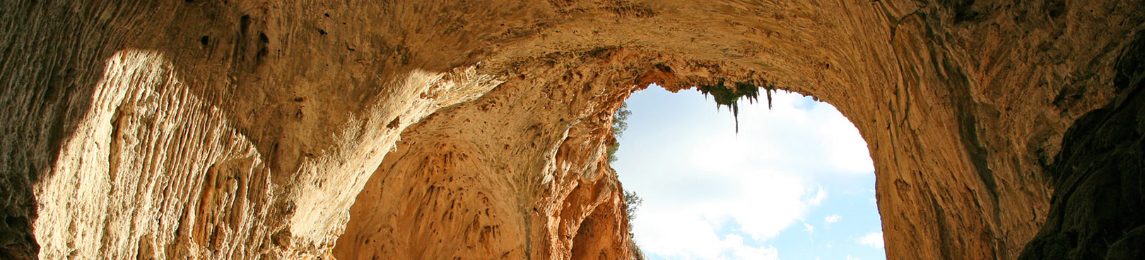
Tonto Natural Bridge Park Map
![]()
Download Printable Park Map
Park Map shows you an overview of the park, including the 4 parking lot viewpoints where you can see the Natural Bridge, and more.
Elevation
4530 ft
GPS Coordinates to park entrance
Decimal Degrees (WGS84)
Latitude: 34.334825
Longitude: -111.421065
Degrees, Minutes & Seconds
Latitude: N34 20 05
Longitude: W111 25 15
GPS
Latitude: N 34 20.090
Longitude: W 111 25.264
UTM 12N
X: 461269
Y: 3799362

