
Maps
Natural Area Location and Directions
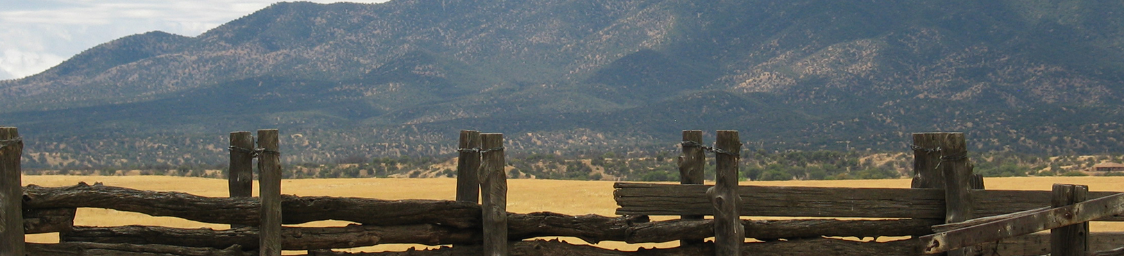
Know before you go! San Rafael State Natural Area is not currently open to the public for general visitation.
This location is in a remote area with no amenities, approximately 2 hours south of Tucson, east of Patagonia, Arizona. Plan ahead by bringing plenty of drinking water and fuel. Drive only on designated motor vehicle routes (includes dirt road surface suitable for most vehicles in regular conditions). See an area map and additional information from the Patagonia Mountains and the San Rafael Valley Recreation Opportunity Guide by the USFS - Coronado National Forest.
GPS Coordinates to San Rafael entrance
Decimal Degrees (WGS84)
Latitude: 31.454275
Longitude: -110.63285
Degrees, Minutes & Seconds
Latitude: N31 27 15
Longitude: W110 37 58
GPS
Latitude: N 31 27.256
Longitude: W 110 37.971
UTM 12N
X: 534883
Y: 3480007

