
Annual Weather
Note: Weather data is provided as a general guide only. Arizona State Parks assumes no responsibility for any loss resulting from the use of this information.
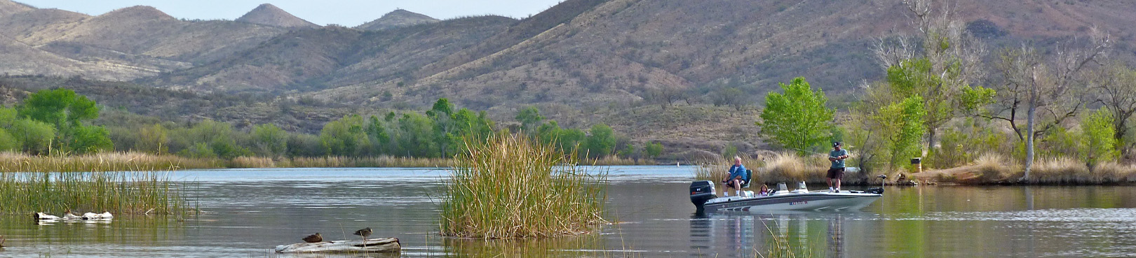
At 3,500 ft. elevation, 31 degrees north latitude, desert and grassland plains interrupted by “sky island mountains,” the Sonoita Creek area has a very attractive climate for wildlife and people. This cooler environment creates a perfect summertime escape for Tucson residents looking to beat the heat and explore the gorgeous Southern Arizona scenery.
Clear skies are the norm with periods of damp and light rains in December through February. (Do not leave your jacket and raincoat at home.) The sometimes violent summer storms with heavy downpours and lightening can start in early July and extend through August. Although Arizona's longterm drought and unpredictable weather patterns have been apparent throughout the state, summertime monsoons can be experienced here on a regular basis.
Most of the year the humidity is below 20% which results in up to 40-degree swings in day to nighttime temperatures. As a general rule wear “layers” to be prepared for the temperature swings and breezes. Always travel with water for yourself, pets and the vehicle and a cooler of snacks for the road.
Below is a listing of average daily temperatures and monthly precipitation:
| Month | High | Low | Precipitation |
|---|---|---|---|
| January | 64° F | 27° F | 1.31" |
| February | 67° | 30° | 1.09" |
| March | 71° | 34° | 1.00" |
| April | 78° | 38° | 0.49" |
| May | 86° | 45° | 0.32" |
| June | 96° | 54° | 0.54" |
| July | 94° | 64° | 4.27" |
| August | 92° | 63° | 4.24" |
| September | 90° | 56° | 1.68" |
| October | 82° | 44° | 1.84" |
| November | 72° | 33° | 0.78" |
| December | 64° | 28° | 1.47" |

