Take a Google Trail tour of Arizona state park trails

Thanks to the loan of a Google Street View Trekker camera, Arizona State Parks & Trails staff captured the views from more than 30 of our most prominent trails across the state.
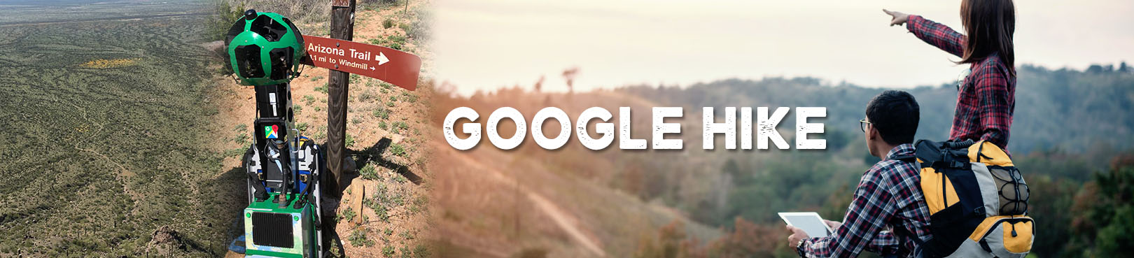
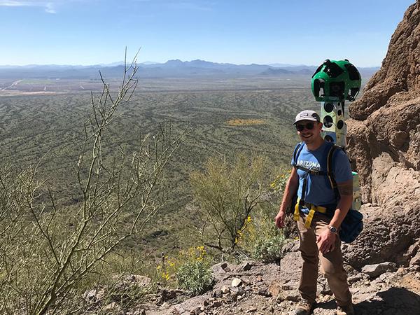
Arizona State Parks and Trails staff have been using the Google R7 Trekker Camera to capture in detail the more than 175 miles of trails in and connecting to state parks across Arizona. The data is posted on Google Earth and Google Maps, so visitors can plan the perfect hiking adventure.
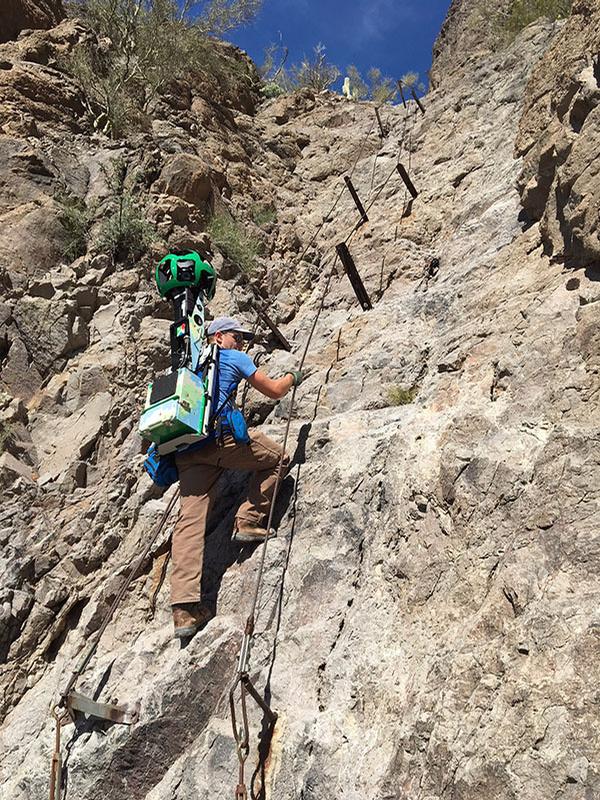
Not all trails are a round-trip and mapping them often required walking miles out to the end of a trail, then backtracking to start another leg. In all, the team estimates they walked an extra 50 miles crisscrossing their paths to capture an entire trail system.
The dedicated team walked over 200 miles, over 31 days, carrying the Trekker, which weighs 45 pounds and includes 15 individual lenses to capture a 360-degree view of each trail. The data will help visitors understand the difficulty of trails, topography, and what to expect to see along the route, as well as the accessibility of the trail. The project also had the added value of identifying any trails in need of maintenance or repair in the park system.
Thanks to the data they collected, you can "virtually hike" nearly all the trails in Arizona's state parks using Google Earth and Maps. These maps are linked under the "Trails" page under our parks' "Things to Do" menus (see an example at Red Rock State Park's webpage).


DAYS HIKED
31

MILES HIKED
200+

TREKKER WEIGHT
45lbs.

NUMBER OF QUESTIONS WE GOT
1,000,000

NUMBER OF TRAILS MAPPED
154

